


The underground world of karst is one of the most valuable components of the natural heritage of the Krka National Park, but also the most difficult to access.
Caves and pits are habitats for numerous organisms specialized for life underground. These speleological sites preserve traces of the geological past of the area and play an important role in understanding the hydrological processes characteristic of karst areas.
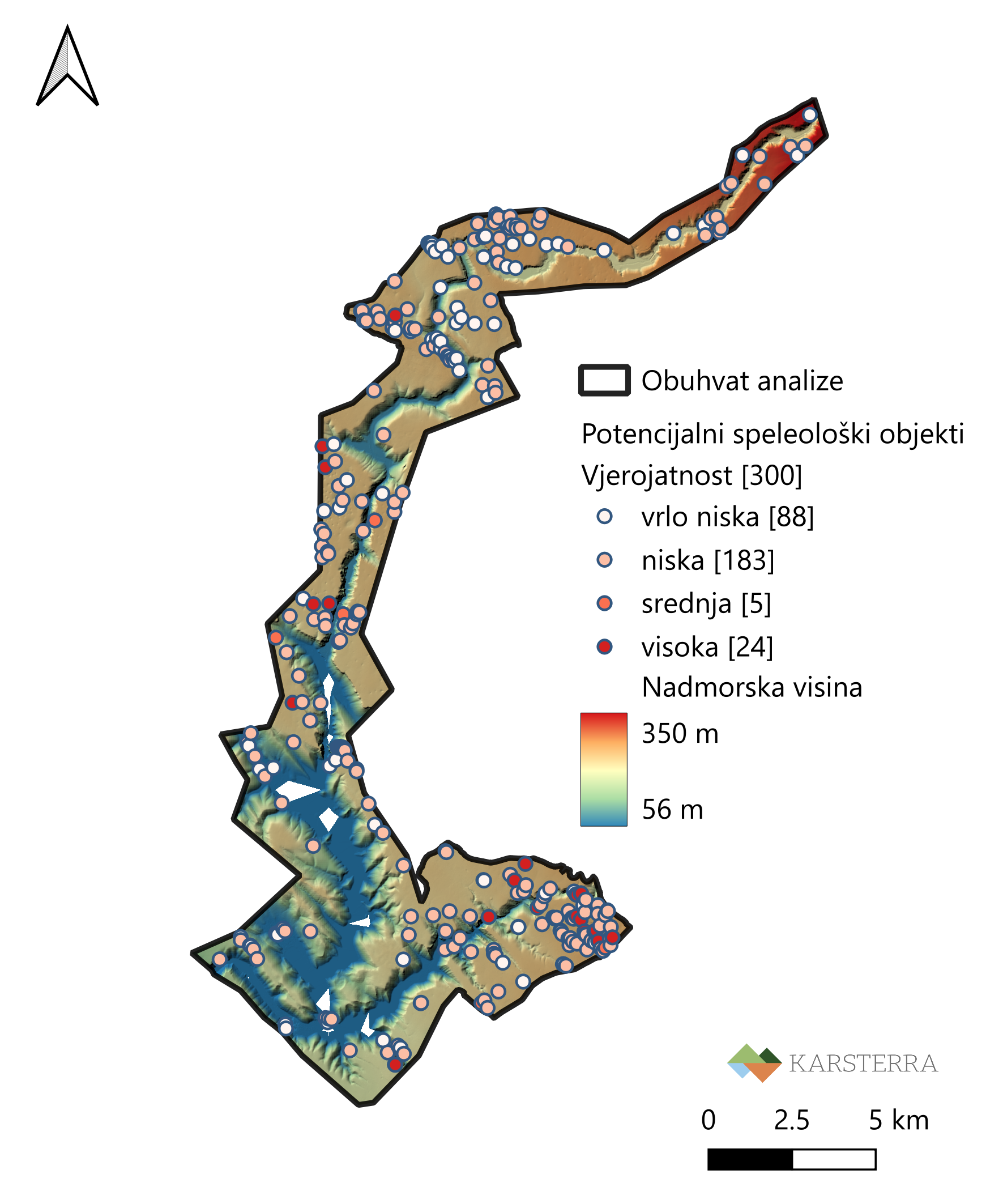
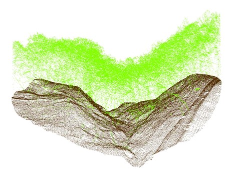
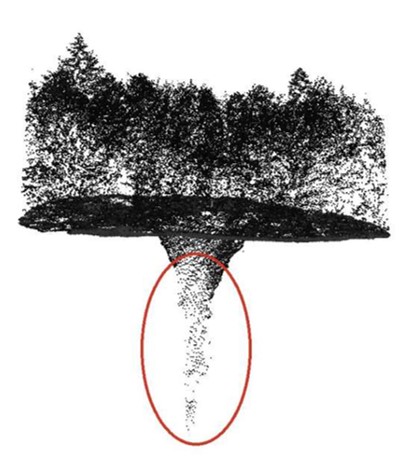
In order to improve knowledge of the underground features of the Park, the company Karsterra Ltd. has created a topographical map of potential speleological sites in the broader area of the Krka National Park. The project covered the area of the Natura 2000 ecological network in the Krka National Park, with a total area of 131.57 km², and its goal was to identify and spatially record locations where there would be a possibility of finding previously unknown speleological sites, based on the analysis of data gathered using LiDAR technology.
The result of the research was the creation of a catalogue of 300 potential speleological sites, which is a valuable foundation for future field research, supplementing the existing databases, and offering better planning of activities for the protection and management of underground habitats.
A special feature of the project arises from the fact that a large part of the karst underground is still insufficiently explored. Although numerous speleological sites are already known in the Krka National Park area, some of which have been partially and some fully explored, the complexity of the karst relief, the inaccessibility of the terrain, and the often hidden entrances make it difficult to find new sites. The new findings will allow for the orientation of future research towards the areas of greatest potential and a more efficient use of field resources.
The analysis of the LIDAR data has also identified locations that coincide with already known speleological sites, which further confirmed the value of the obtained results, and opened the possibility of improving the existing records. The new topographic map and catalogue is therefore not only a list of potential sites, but also an important tool for the systematic monitoring, investigation, and preservation of the unique underground heritage of the Krka National Park.
Research
JOŠ NOVOSTI IZ KATEGORIJE
The investigation and inventorizing of the entomofauna of forest habitats in the region of the Krka National Park
During 2025 and 2026, the Faculty of Forestry and Wood Technology of the University of Zagreb conducted entomofaunistic research in the most important forest communities in the Krka National Park to gain insight into the representation and condition of the insect fauna in the Park
Investigation of the condition and composition of the macrozoobentos of the tufa barriers of the Krka River
During 2024 and 2025, an extensive scientific study of the composition and condition of macrozoobenthos (benthic invertebrates) was conducted on all seven tufa barriers of the Krka River
Monitoring the status of the target fish species Canostrini's Goby (Pomatoschistus canestrinii) and the Dalmatian barbelgudgeon (Aulopyge huegelii)
Monitoring the status of the target fish species Canostrini's Goby (Pomatoschistus canestrinii) and the Dalmatian barbelgudgeon (Aulopyge huegelii)
Research into the state of freshwater prawns in the estuary of the Krka River
Estuary ecosystems, such as the Krka River estuary, are biologically highly productive systems with net primary production rates among the highest in the world